ZIP Code 20500 - Washington District of Columbia
Overview
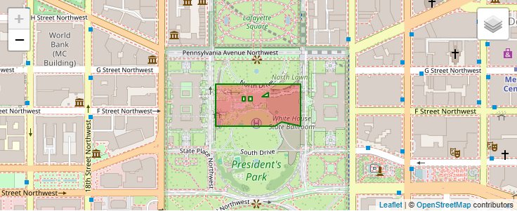
20500 is the ZIP Code for The White House in Washington, District of Columbia. 20500 is entirely within District of Columbia. Regionally, 20500 is located in Metro DC.
ZIP Code 20500 Quick Stats
| ZIP Code Name | Washington |
| Organization | The White House |
| Primary County | District of Columbia |
| ZIP Code Type | Standard |
| Current Time | EDT |
ZIP Code 20500 Map
20500 Schools
| School Districts in 20500 | |
| Elementary Schools in 20500 | |
| High Schools in 20500 |